Monday I set out from Lawrence to the Missouri River. It ain’t too far.

The Corps arrived at the confluence of the Missouri with the Kansas on June 26, forty-three days after departing Camp River Dubois at the mouth of the Missouri.

Bernard de Voto’s edition of the journals skims the passage from Westport to the Nodaway River. (However, on the 1806 return trip, the party arrived back at the Kaw, and described the area surrounding the confluence while standing in the middle of modern downtown Kansas City.) They have their first sighting of beaver near Leavenworth and a 4th of July observance featuring a fusillade from the swivel gun and a rattlesnake bite for Joseph Fields near Atchison. And, of course, as it was mid-summer, “the Mosquitoes and ticks are noumerous and bad.”
There is a pavilion in Atchison, just south of today’s Independence Creek, and their 4th of July camp at White Clay Creek (renamed from 4th of July 1804 Creek).


I stuck to the river road northward, until just a few miles before the Nebraska state line, I saw a gent cleaning his gear after a catfish cleaning bonanza.
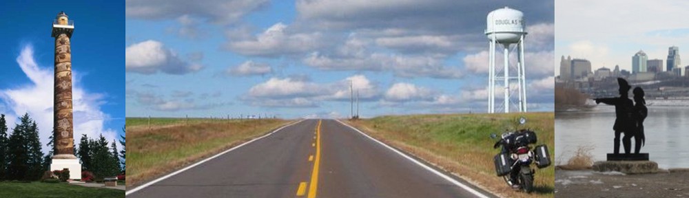
 I was looking for the Four-state Lookout. Chris told me it was right up the bluff from where we were standing. Chris was kind enough to inform me that the White Cloud tribal police were sticklers for the speed limit all the way to the border, and that in Rulo, I’d need to detour over to the main downtown street because of a bridge project. Also, stop and eat downtown. But first, the lookout.

Visible R to L from this spot in northeastern Kansas are Nebraska, Iowa, and Missouri
So at the orange cones, I turned left from the river road and up one block on Rouleau St. There was some eats.

Cheeseburger and homemade fries served by another Chris, then it was back out to US75, where the entire world is under construction!

Mariana did her best to explain that the way around was 15 miles over to Humboldt while apologizing for her poor English. She is taking classes. “How many miles are you going?” she asked in Spanish. “Twenty-seven hundred,” I replied in my pidgin Spanish. “And then back.”
There was another flagger after 5 more miles, then another. I wanted to see the confluence with the Platte, but this was sucking. At the next opportunity, I crossed over to Iowa and headed north to Sergeant Bluff to see the grave of the Expedition’s only casualty: Sgt. Charles Floyd.
Over to I-29 for what I hoped would be one of very few interstate jaunts, passing through Council Bluffs, site of the Expedition’s first meeting with the Ponca, Mahar, Omaha, Oto, and Sioux, in the hope of bringing peace and establishing a foothold in the fur trade with all these nation and thereby cutting the French and British out of the lucrative and burgeoning industry. The Sioux were the strongest nation in the region, having been displaced westward by the even more aggressive Chippewas. Gaining trust and peace with the Sioux was key to the fur trade.
On the way from Kansas to SD, the Expedition suffered its only casualty: Sgt. Floyd was stricken with appendicitis, and died just south of today’s Sioux Falls, IA, There is an obelisk overlooking the Missouri on the east shore. I made good time to Sergeant Bluff, arriving around 3:30.

Sgt. Floyd died of an apparent burst appendix (“bilious colick”) on Aug. 20, 1804, and was buried near the river about 200 meters west of this obelisk. However, by the 1850s, the Missouri had eroded the bluff and threatened to wash away the grave. A group of Sioux City citizens organized a committee to move the grave to the current site. Construction began on Aug. 20, 1900, the anniversary of his death. Here’s a view to the southeast from the obelisk pavilion:

I headed across back into Nebraska to Hwy 12 along the south side of the river, past Yankton Dam and Lake. The landscape is rolling and scenic, with hilltop views any lover of the Kansas Flint Hills would appreciate. Wheatfields and rangeland predominate, with a wind farm along the way.

I reached Niobrara State Park about an hour before sunset, plenty of time to fix dinner and relax before darkness. My view from Monday night’s camp:

Looking east toward the west end of Yankton Lake. The bridge to South Dakota is visible at center right. Water’s on, tent’s pitched, and it’s almost time for dinner.

Roughing it
424 miles today. The Expedition took 68 days to travel from KC to the Niobrara. I did it in 9 hours.
Until the next wi-fi hotspot!

Ride on, High Plains Drifter!