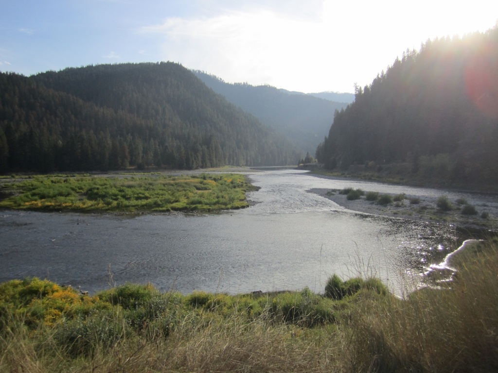
I awoke before dawn to the delightful sound of the Salmon River running past my balcony window.
I jumped up and headed downstream to the mouth of the Lemhi River at its confluence with the Salmon.
Much of the shoreline is on private property, but I saw a woman sitting on her porch as I poked along the road looking for access to the water. She said I could walk down behind her house for the picture above, which looks to the SW. Nice setting for a house, or a hotel.
The valley between the Bitterroots (on the east) and the Lemhi Mountains (on the west) was the homeland of the Shoshones. Sacagawea had been kidnapped by a Hidatsa war party around 1800 at the age of 12, and taken to North Dakota, where she met Toussaint Charbonneau, who became her husband. Four years later, Meriwether Lewis recognized her value as a guide and Shoshone interpreter when he hired Charbonneau as an interpreter of Hidatsa, a language spoken among tribes of the northern plains. When the Expedition arrived at the Lemhi River, Sacagawea was reunited with her brother, Cameahwait (who was by then Chief of the Lemhi Shoshone), and one of the other women taken prisoner by the Hidatsas.
It was Cameahwait who told the party of the Indians who traveled to the waters of the Columbia, and that their route was ten miles plus three day’s walk north of the mouth of the Lemhi. Lewis wrote that Cameahwait told them that ‘the road was a very bad one…and they had suffered excessively with hunger on the rout being obliged to subsist for many days on berries alone as there was no game in that part of the mountains which were broken rockey and so thickly covered with dense timber that they could scarcely pass.” De Voto describes this information as “vital” and “correct.”
Lewis continues: “knowing that Indians had passed, and did pass, at this season…my rout was instantly settled in my own mind. if the Indians could pass the mountains with their women and Children, that we could also pass them.”
I returned to the hotel for a u-cook waffle breakfast, managing to make the last one before the breaker box gave out from the strain of two waffle makers, two toasters, and twenty other electrical breakfast and foodservice devices. I sat across from a Boise couple who were on a 3-day, 2-night motorcycle loop from Boise to Kooskia to Salmon and back. They were 2-up on a Harley and were headed back to Boise after breakfast. There were four other Harleys in the lot, one was an Ultra Classic with an amazing iridescent blue and purple paint job. The owner’s son was a firefighter and was camped just north of Salmon.
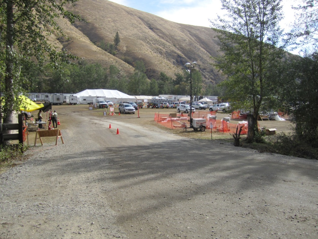
The river valley north and south of the town of Salmon, ID, was the temporary home of thousands of firefighters, smokejumpers, helicopter pilots, and national guard personnel who were engaged with the Mustang fire complex, just northwest of Salmon.
I proceeded on down the Salmon. I passed this camp as I was headed north on US 93 toward Lolo, which is about 10 miles S of Missoula.
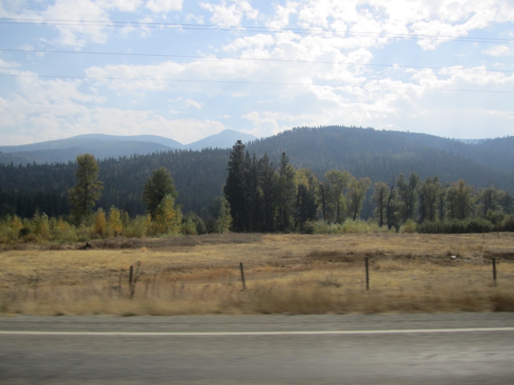
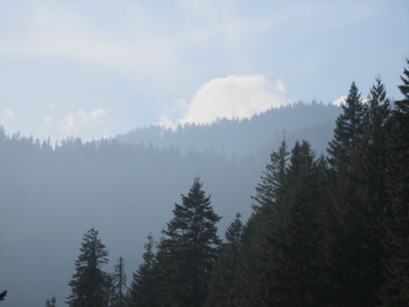
The wind was blowing the smoke from Mustang across the Selway Wilderness and into the adjacent valley to the east.
In this valley, accompanied by a Shoshone guide called Toby, the Expedition got a difficult start on their search for navigable waters to the Pacific. It snowed on Sep 3 and 4, 1805, as they descended the Salmon, ascended Lost Trail Pass (losing three horses during the grueling climb), and met with the Salish Indians in the Bitterroot River valley. They confirmed Cameahwait’s information. The tribe who traveled this route, between the waters of the Missouri and the waters of the Columbia, were the Nez Perce.
I followed the Salmon to North Fork, where the river turns west into the Salmon-Challis Nat’l Forest. Lewis and Clark explored the Salmon, and found it to be impassable by boat or by foot. Its rapids were too steep and dangerous to paddle, and its high, rocky canyon walls provided no purchase. Hence, their exploration of a more northern route.
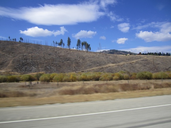
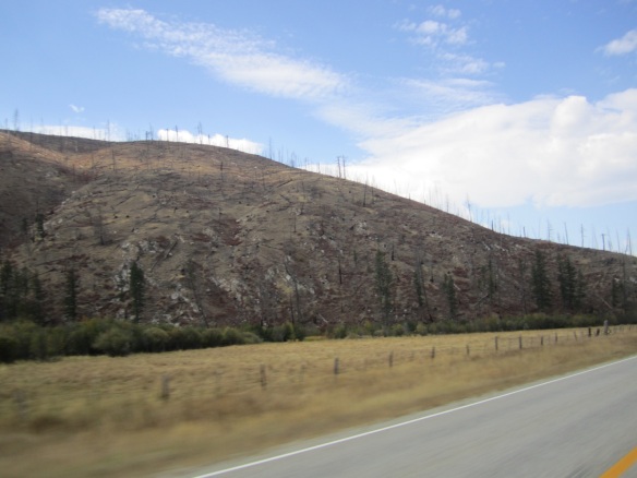
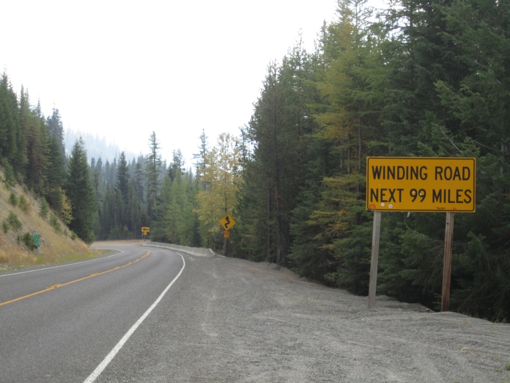
I continued north up the very twisty road to Lost Trail Pass, elev. 7014 ft. Descending from the pass, I picked up the Bitterroot River headed north. The Bitterroot valley has been heavily burned on its western slope. Most structures on the valley floor remain untouched by fire, but the hills have been laid bare.
At Lolo, MT, I gassed up at a non-ethanol pump (two other riders arrived and waited in line for the good gas while I was there) before starting up US 12 to Lolo Pass. Here, on Sept. 9, 1805, at the mouth of today’s Lolo Creek, the Corps established a camp called Traveler’s Rest, which would also serve as a base camp during their return trip over the mountains. They met their first Nez Perce, who described a route which was “five sleeps wich is six days travel” to his relations on the Columbia River.
They camped for three days, then proceeded up Lolo Creek, again crossing the Divide on a road Clark described as “verry fine leavel open and firm.” In three days, they crossed just south of Lolo Pass and encamped on the 14th at today’s White Sands Creek, which they called Killed Colt Creek. The road had turned bad, a sleetstorm had enveloped the Bitterroots, and they had found no game and were forced to eat one of their horses. Clark describes the road as “much worst than yesterday…we wer compelled to kill a Colt to eat and named the South fork Colt killed Creek.”
The road ascends from the town of Lolo (elev. 3200 ft.) to Lolo pass (elev. 5235 ft.) in about 20 miles, and then begins a wonderfully scenic and enjoyable descent toward Lowell.
Just a few miles over the pass, US12 joins the Lochsa River all the way to its confluence with the Selway River and on down to the Clearwater River. The road is stunningly beautiful and an entertaining ride on a motorcycle! There are numerous Lewis and Clark sites along the river. In a grove of red cedars on the north side of the road, there is also a memorial to Bernard De Voto, whose book I’m carrying.
But the river is the thing.
As I mentioned yesterday, US12 and the Lochsa River are the northern edge of the Mustang fire.
The hot spots in the northwestern part of the fire are quite close to the road. How close?
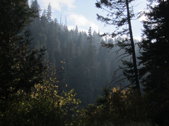
This is the Mocus fire, about 100 meters across the river from the road. Most of the upper Lochsa valley was smoke-filled:
The road was a slow cruise downhill to the west from Lolo pass, out of the smoke and down to the confluence of the Lochsa with the Selway River at Lowell, ID.
The Selway flows into the Clearwater River, which continues in a 50-mile arc to the NW from Kooskia, ID to its confluence with the Snake at Lewiston, at the WA state line.
The Expedition descended with great difficulty on both sides of the Lochsa and the surrounding valleys, climbing, descending, with horses often losing footing and tumbling down the precipitous mountainsides, which had been strewn with timber as a result of wind and fire. On Sept. 15, five miles below Killed Colt Creek, the party left the difficult Lochsa valley, headed north 5 miles and found the Nez Perce trail, which they followed along the ridge to the north of the Lochsa. What followed was a week of suffering and near-starvation condtions with only two more colts to eat–the last of their edible supplies. It snowed, rained, sleeted. The horse carrying Clark’s desk and journals fell and the desk was destroyed. Two more horses gave out, “pore and too much hurt to proceed on.” They arrived at the top of a mountain to camp, and saw only “high ruged mountains in every direction as far as I could see.”
On the 16th, it snowed all day: 8 inches. Clark saw 4 deer and tried to shoot a large buck. His gun failed 7 consecutive snaps. Inspecting his weapon, he remarked, “what is singular is that my gun has a Steel fuzee and never snaped 7 time before…found the flint loose.” He proceeded on. At noon, his small advance party halted atop a of the mountain “to worm and dry or Selves a little as well as to let our horses rest and graze…I have been wet and as cold in every part as ever was in my life.” They proceeded on in freezing misery: “to describe the road of this day would be a repitition of yesterday except the Snow which made it much worse.”
The party was sick, miserable,”verry cold and much fatigued.” The next day, they found a wandering horse–evidence of nearby Nez Perce! On Sept. 20., Clark, in advance of the party, descended into the Wieppe Prairie in the valley adjacent to the Lochsa and reached a Nez Perce village about 5 miles above the confluence of the Lochsa with the Clearwater River. Finally after almost a month, often with “nothing to eat but dried fish and roots,” they descended this hillside
to finally reach navigable water: the Clearwater River, called by the Nez Perce the koos koos kee (and namesake of the modern town of Kooskia). They proceeded ten more miles down the Clearwater to another Nez Perce village, where they met Twisted Hair, a chief who would help guide them down the Columbia.
They had crossed the Rocky Mountains. They had reached the waters that would take them to the Pacific Ocean. As De Voto describes: “The expedition had made 160 miles since it left Traveler’s Rest eleven days ago. It was one of the great forced marches in American history.”
The party spent a week in Twisted Hair’s village, recovering from dysentery, gas and violent illness from their change from a meat diet to one of salmon and camas roots. While the party (including Lewis) lay disabled in camp, Clark continued with Twisted Hair 5 more miles down to the mouth of the modern North Fork of the Clearwater, camping where they could find the Ponderosa pines suitable for making five dugout canoes to continue the trip downstream.
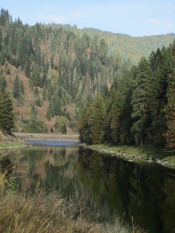
I had hoped to get into WA a few miles before camping, but as usual, I’d pfaffed about a few too many hours in the morning along the Salmon River, so I started looking for the Dworshak State Park, dam and reservoir, which appears on the atlas to be right next to the town of Orofino, ID. When I got to Orofino, a sign said the park was still 27 miles away! That’s a 54 mile side-trip, but off I went. Fortunately, on the road up past the dam, just three miles downstream from the Orofino bridge, there is a small state fishing camp. And it’s a free campground. I pulled in and cruised downstream past the 10 riverside sites. There were 2 super-crappy-looking trailers that obviously had been there for months. Or longer. There was also one RV at the far end which appeared to be a traveler. I headed back to the most upstream site and set up. The place appeared to have been used for local partiers, with some beer cans and fast food trash around, most of it in the fire pit. Some not.
I pitched camp and got dinner going, then went down to the river.
316 miles in 8 hours. The Expedition spent 30 days getting from the mouth of the Lemhi to the Clearwater River.


